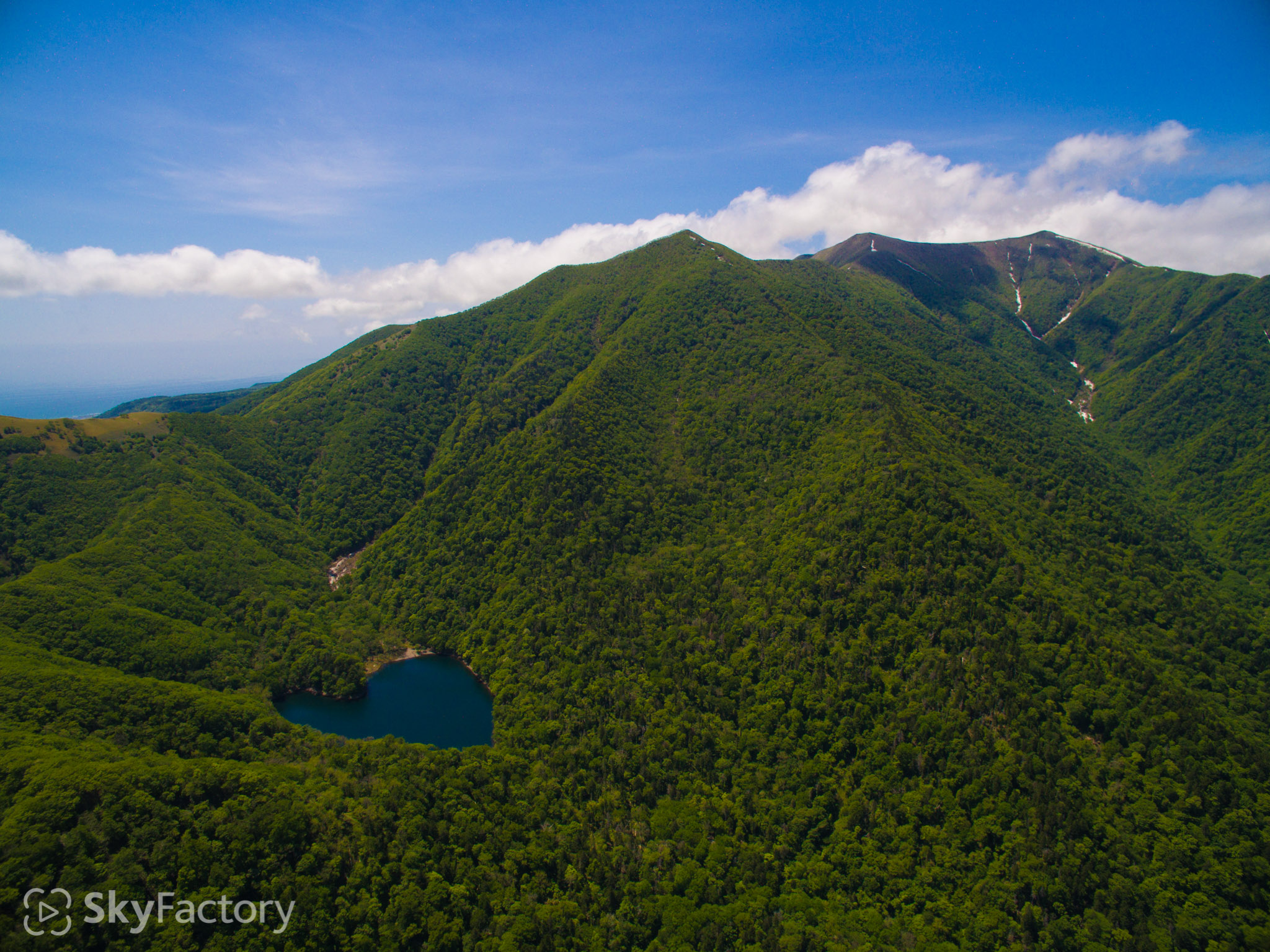
Lake Toyoniko #1 (Erimo Horoizumi)
Mt. KannonDake, Mt. ToyoniDake
Date / 2015.5.28 10:39
Place / 42°5'48" N 143°16'22" E
Altitude / 223.6m
Drone / DJI Inspire1
This website stores cookies on your computer. These cookies are used to provide a more personalized experience and to track your whereabouts around our website in compliance with the European General Data Protection Regulation. If you decide to to opt-out of any future tracking, a cookie will be setup in your browser to remember this choice for one year.