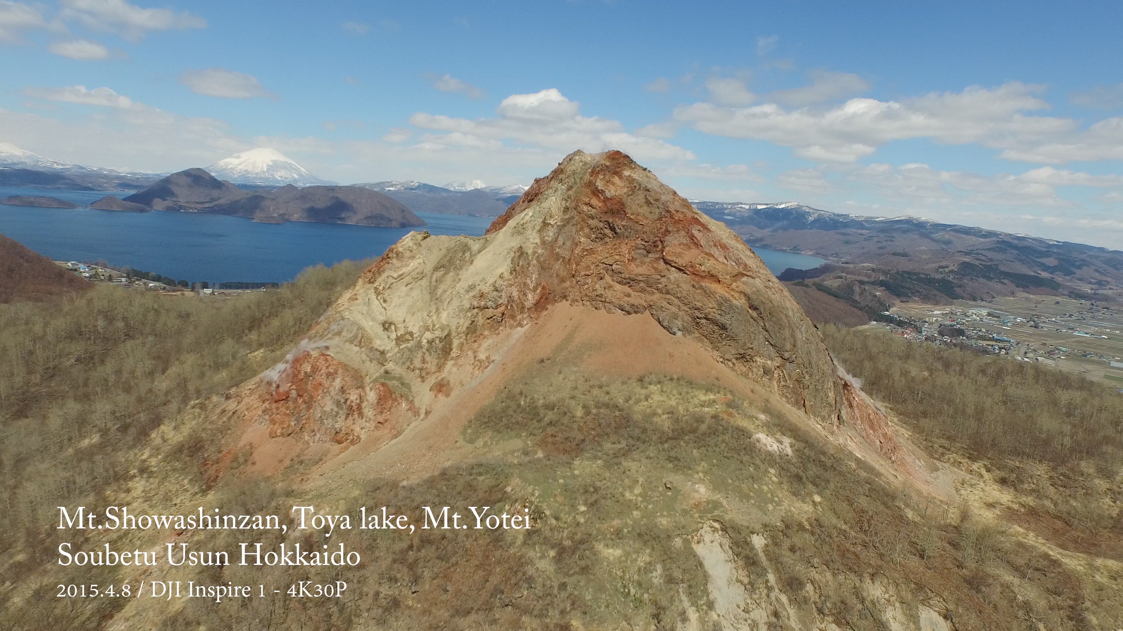
Mt.Showashinzan, Toya lake, Mt.Yotei (Soubetu-cho Usu-gun Hokkaido)
Date / 2015.4.8 12:23
Toya Lake, Mt.Yotei
Place / 42°32'19" N 140°51'46" E
Altitude / 243.1m
Drone / DJI Inspire1
This website stores cookies on your computer. These cookies are used to provide a more personalized experience and to track your whereabouts around our website in compliance with the European General Data Protection Regulation. If you decide to to opt-out of any future tracking, a cookie will be setup in your browser to remember this choice for one year.